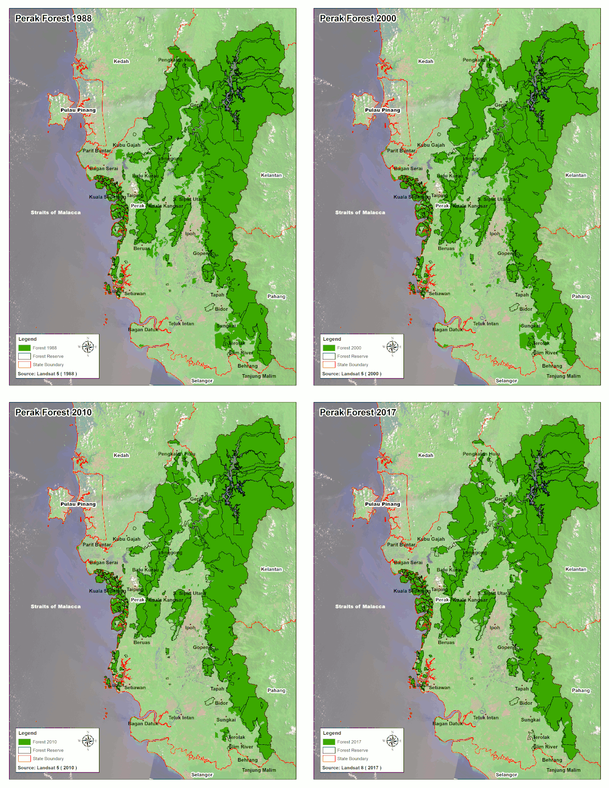
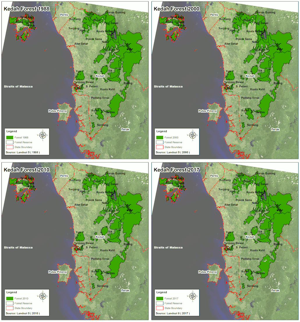
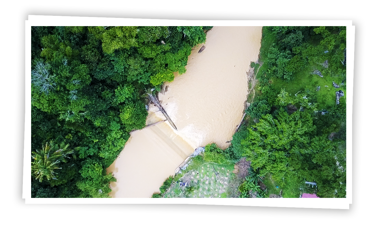
Using sophisticated multispectral image analysis from satellite imagery, the team from UKM managed to map the changes in forest cover, determine the degree of forest degradation and compare the results with existing data accumulated over a 29-year period.
Once the study is completed later this year, the team hopes that their findings will provide answers in identifying the drivers of forest cover change in the CFS and therefore, the implementation of appropriate mitigating measures and recommend relevant policies to protect the forest.
Two other organisations also worked on a forest connectivity plan for the CFS. Wild Asia and their partner, the Management & Ecology of Malaysian Elephants (MEME), collaborated on a one-year project funded by Hasanah to identify high priority ecological linkages in the CFS and assess their current status in terms of land use patterns, and the level of forest degradation but also produce guidelines for the management of these sites. The work also established establish a platform, MyCFS, that would allow for civil society organizations (CSOs) to communicate, advocate and coordinate work related to the CFS.


